Call Now!
(531) 213-6659

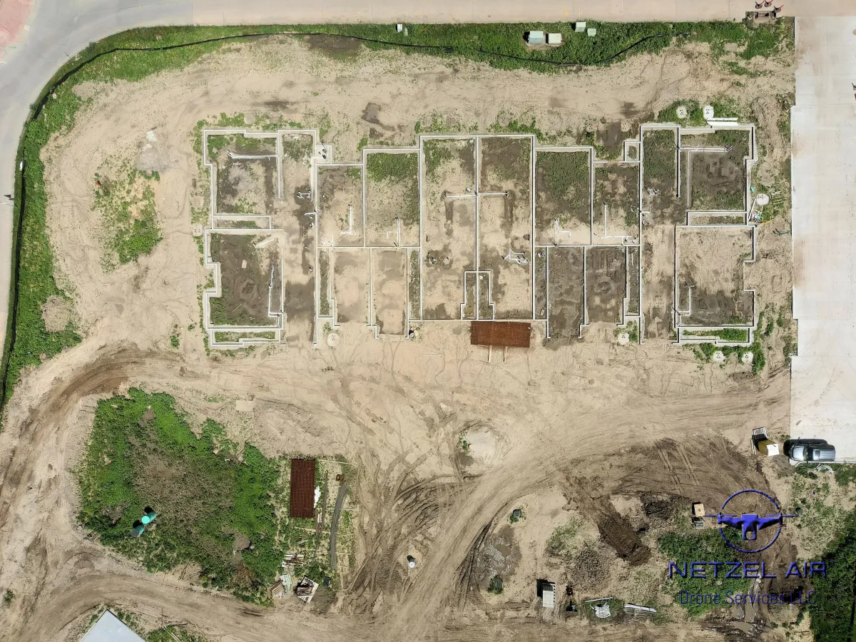

2D Orthomosaics for Construction
High-Resolution Site Mapping:
Drone 2D Orthomosaic imagery provides construction companies with high-resolution, georeferenced maps of construction sites. These maps offer detailed, accurate representations of the site's layout, topography, and features, allowing project managers to make informed decisions about site planning, design, and construction methodologies.
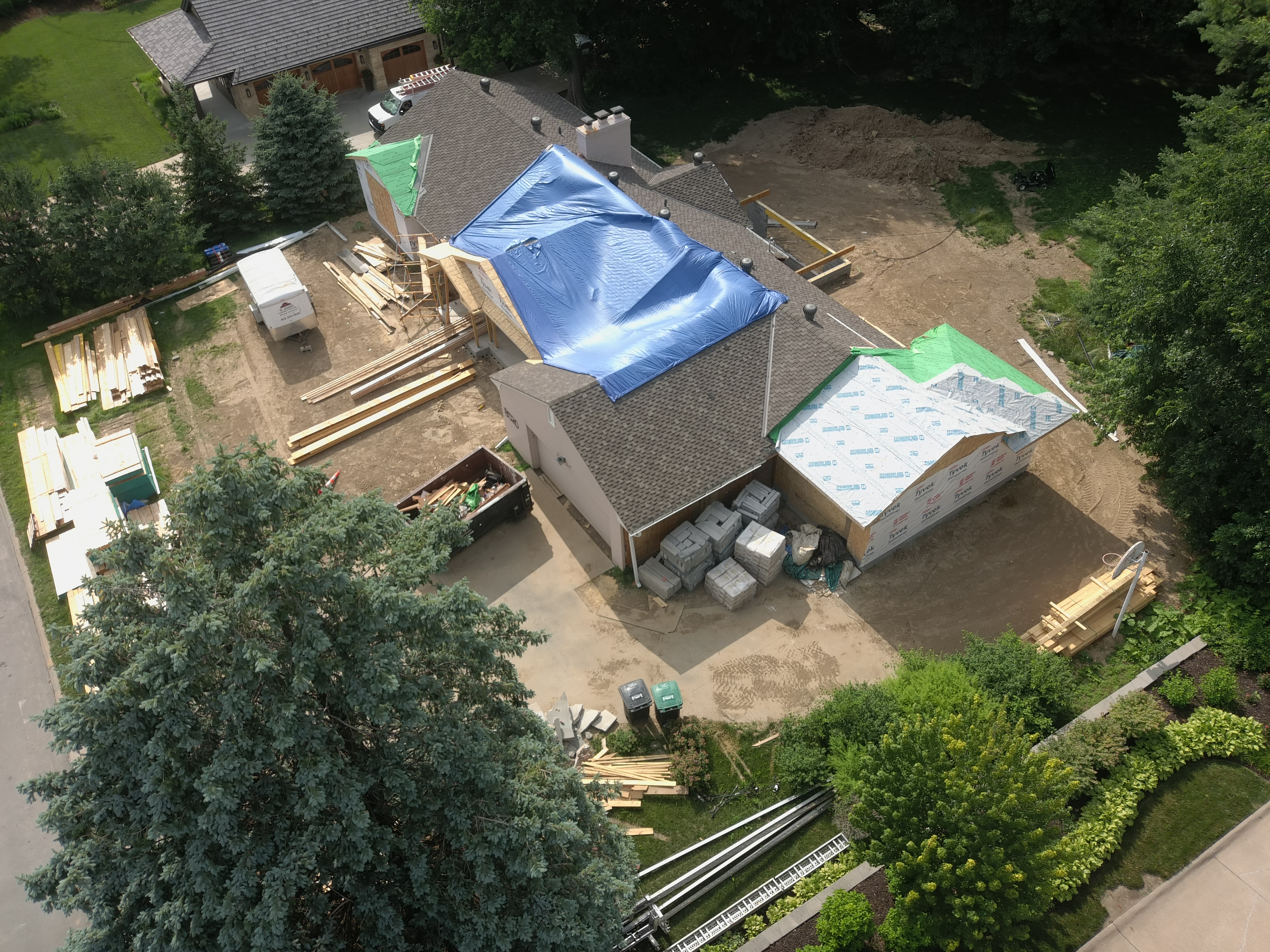
Efficient Site Monitoring and Progress Tracking:
Drone 2D Orthomosaic maps support efficient site monitoring and progress tracking throughout the construction project. By capturing regular aerial imagery and generating updated orthomosaic maps, construction companies can monitor changes, track progress, and identify potential issues in real time. This proactive approach to monitoring helps prevent delays, streamline workflows, and ensure that construction projects stay on schedule and within budget.
Enhanced Collaboration and Communication:
Drone 2D Orthomosaic maps serve as valuable communication tools for construction companies, facilitating collaboration among project stakeholders. By sharing detailed maps that provide a comprehensive overview of the construction site, companies can effectively communicate project status, updates, and requirements to clients, subcontractors, and regulatory authorities. This improves coordination, fosters transparency, and strengthens relationships throughout the project lifecycle.
Improved Safety and Risk Management:
High-quality drone photos showcase construction projects in an impressive and visually compelling manner. These images can be utilized for marketing purposes, including project proposals, progress updates, and portfolio presentations. Engaging stakeholders with captivating aerial visuals enhances brand reputation, attracts potential clients, and fosters investor confidence.

Facebook
LinkedIn
Youtube